Bottle Brook
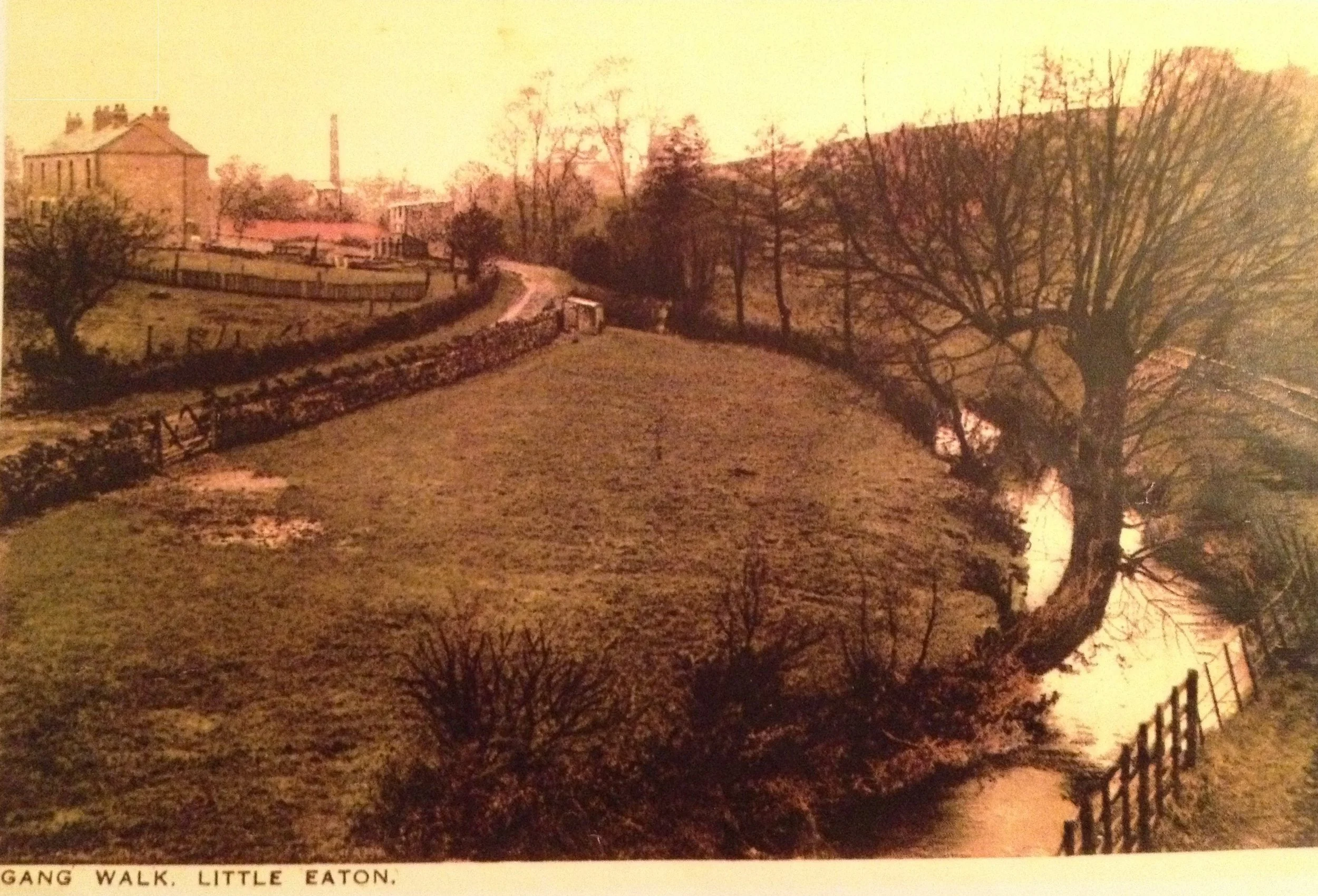
Giving Little Eaton its name: Little Town by the Water
Bottle Brook
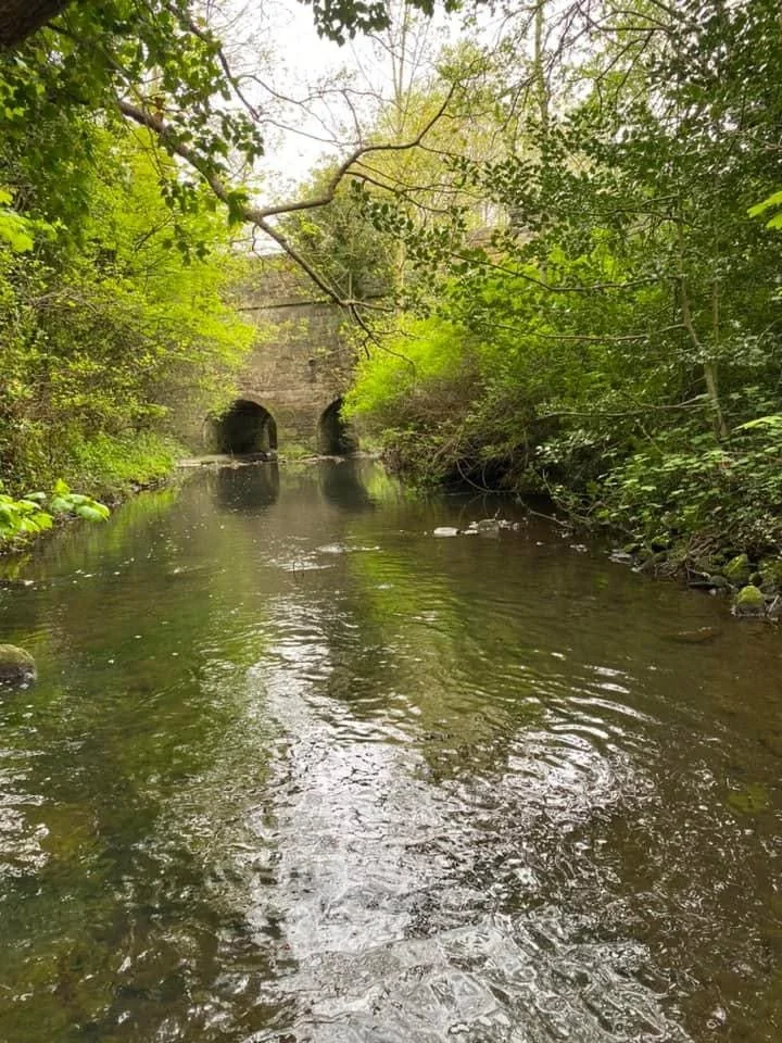
Bottle Brook is a tributary of the River Derwent, stretching 11.4 miles from its source just south of Ripley to the river at Little Eaton. It flows through Denby. Kilburn and Coxbench before the final 2.7 miles running through Little Eaton.
Here we cover how the brook has contributed to Little Eaton’s history - from providing its name, to powering its mills, providing employment, leisure, and also tragically death and flooding.
History of Bottle Brook
In Saxon times the Brook was a vital feature of Little Eaton, “a Little Town by the Water”. It was a source of fresh water and fish for the people who settled around it. In the 13th and 14th Centuries, the brook was called “Colebrook”, meaning “cool brook”. It was part of the Dean of Lincoln’s property in Little Eaton, which included a water mill and the fishing rights. Later, the brook was named “Bottle Brook”, possibly after St Botolph, patron saint of trade and travel.
The population of the village grew, and mills, mines and quarries discharged industrial waste into the brook, adding to the human waste deposited by villagers who used it as a sewer. The water became unsafe to drink and wildlife disappeared. Floodwater also became a serious hazard, inundating homes and gardens. To protect the village, parts of the brook were confined between concrete walls and buried in tunnels. It was hidden away, a threat to the livelihood of villagers.
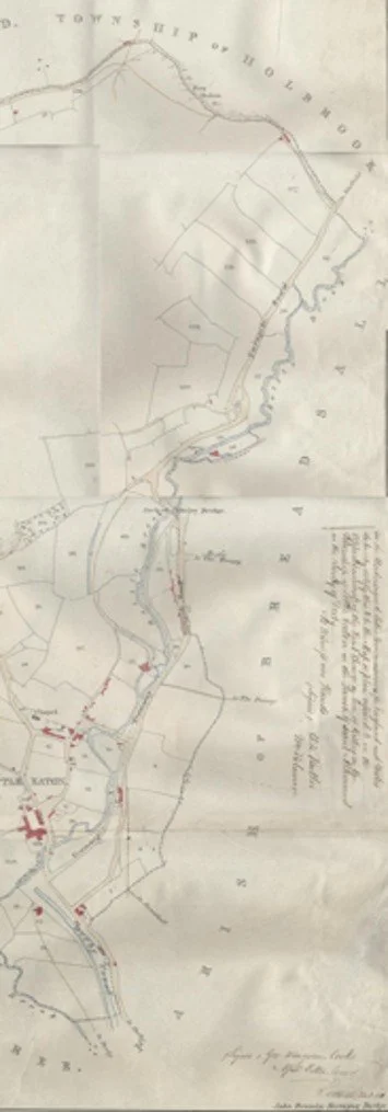
This map shows the brook through the village in 1850. The brook makes its winding course from T’Owd lane in the north to the Derwent in the south. At that time there was a gangway alongside the brook for horse drawn wagons to transport coal from Kilburn, ceramics from Denby and stone from Coxbench and Little Eaton to a wharf in the village. Later, the brook, which snaked up through the centre of the village, was straightened and the Ripley branch line of the railway was built.
Mills
The brook was ideally located to power waterwheels used for driving corn mills. The first of these to be recorded was in 1489 when Thomas Stanley was granted permission to “turn the course of the brook (Colebroke) and to erect a milne above Glandford Bridge. (later to be known as Jack O’Darley Bridge). Traces of this mill can still be seen. .
Later there were two larger mills in the village:
The Bleach Mill on the site at Mill Green passed into the hands of the Hawkins family in the 18th Century and then the Tempest Family. Originally a corn mill, it was converted into a bleach mill, cleaning and whitening cloth produced by framework knitters in the village and beyond.
By 1841 Elisha Smith and his wife Marey were living in the Mill House, employing 13 men and 2 women as bleachers, most living in the Mill cottages, a terrace of cottages alongside the Mill. By 1900 the Bleach Mill had closed and there were no bleachers living in the village. The Mill house and yard later became a timber yard and storage for fairground equipment before becoming a factory for the construction of illegal guns. The house is now a private residence.
The Brook Mill was built in 1854 by John Tempest. Tempest had inherited the Peckwash Paper Mill from his father and the paper-making business was booming. To meet demand, he built a new mill on land in the village next to the brook. Workers’ cottages were built next to the Mill. The brook was channeled through a tunnel and part of the mill built over it. In 1880 the Mill was sold to the Cudlip family and in 1888 there was a serious fire at the Mill. Dowdings took over after restoration, then later the British Coated Board acquired it. It closed in the 1970s and some of the buildings are now used as workshops and business units.
Bridges
There are six bridges in the village. Two were built to carry the railway (now the Greenway) over the brook. The others were for foot, horse and then vehicular traffic.
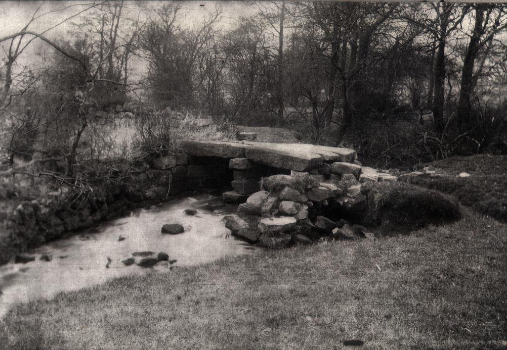
The first of these was a “clapper” bridge of stone slabs across the brook at T’Owd Lane (“The Old Lane”). The brook at this point is relatively narrow and slow moving. The bridge carries the Midshires Way footpath from Moor Lane to Whittaker Lane and across the fields to the Bridge Inn. For many years the path was as a bridleway for packhorses – the track became known as the “Packhorse Trail”.
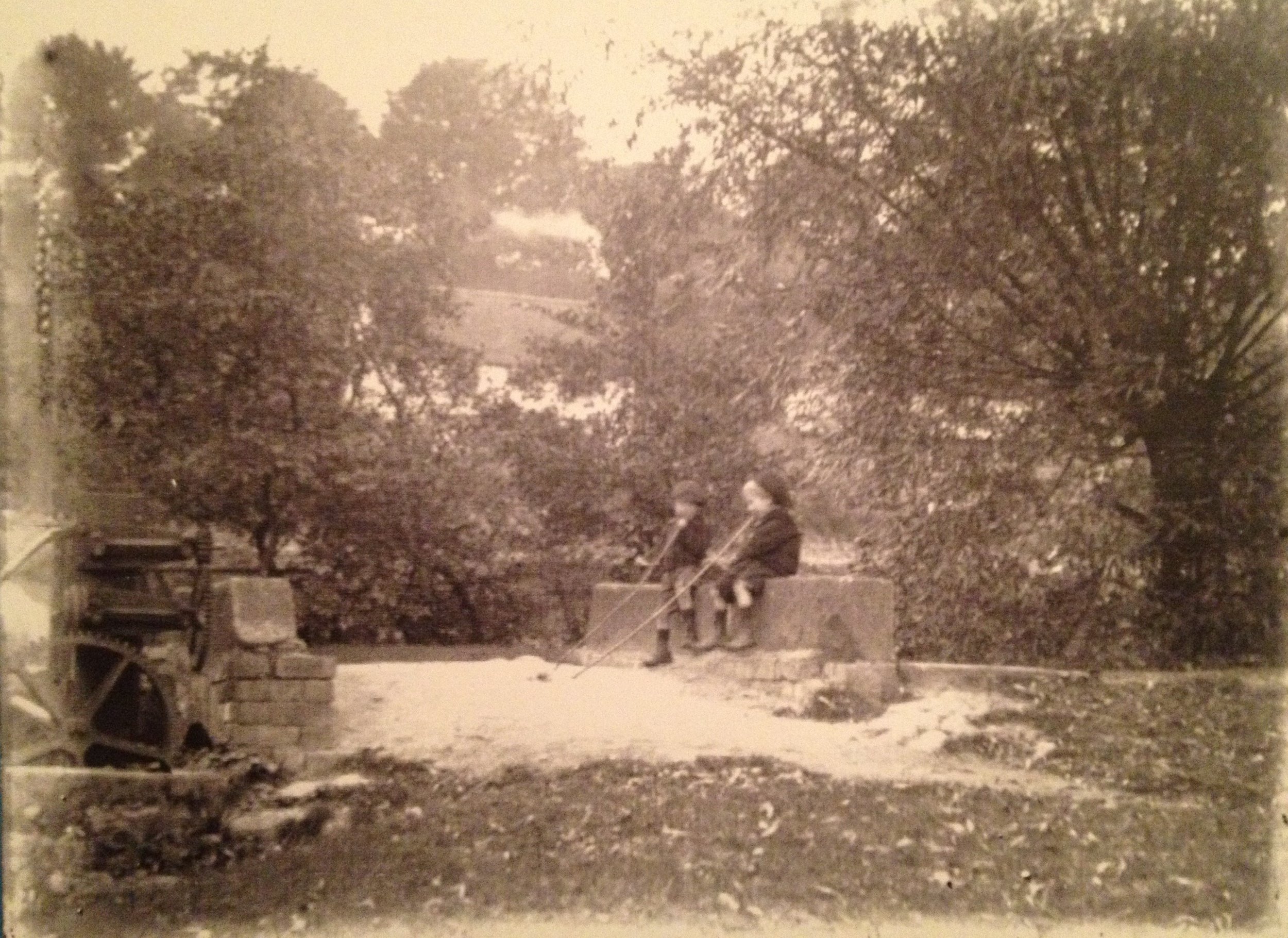
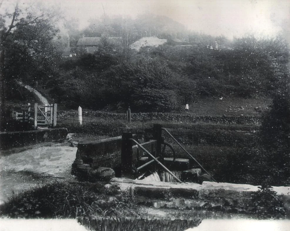
The second carries a footpath across the brook from the Alfreton Road to Moor Lane. It also used to serve as a weir to divert water from the brook through a goyt which carried water along what is now Barley Close to the old Bleach Mill. The remains of the mechanism to raise and lower the gate for diverting the water can still be seen.
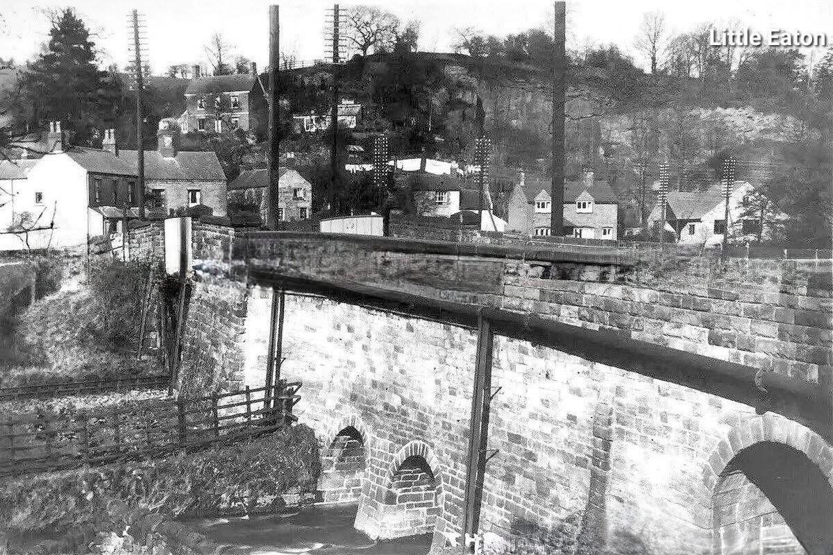
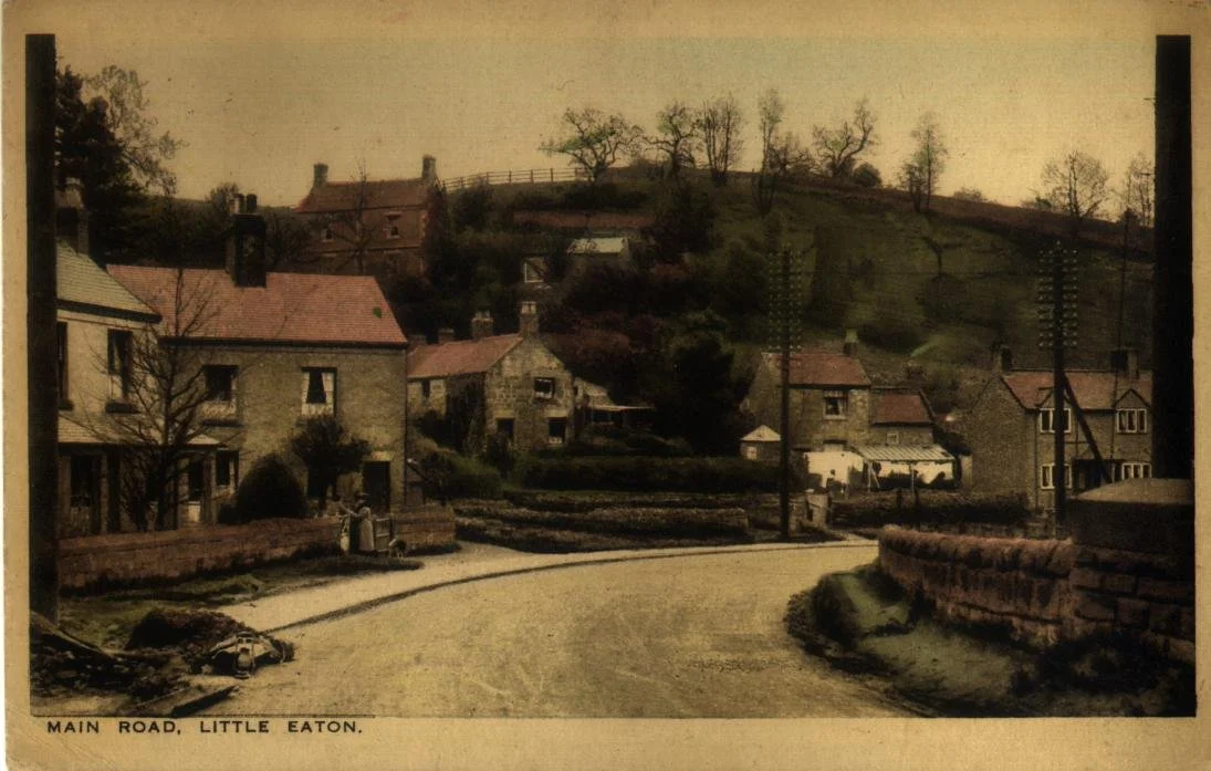
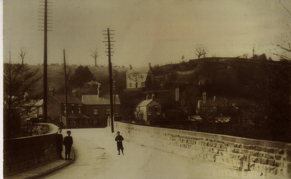
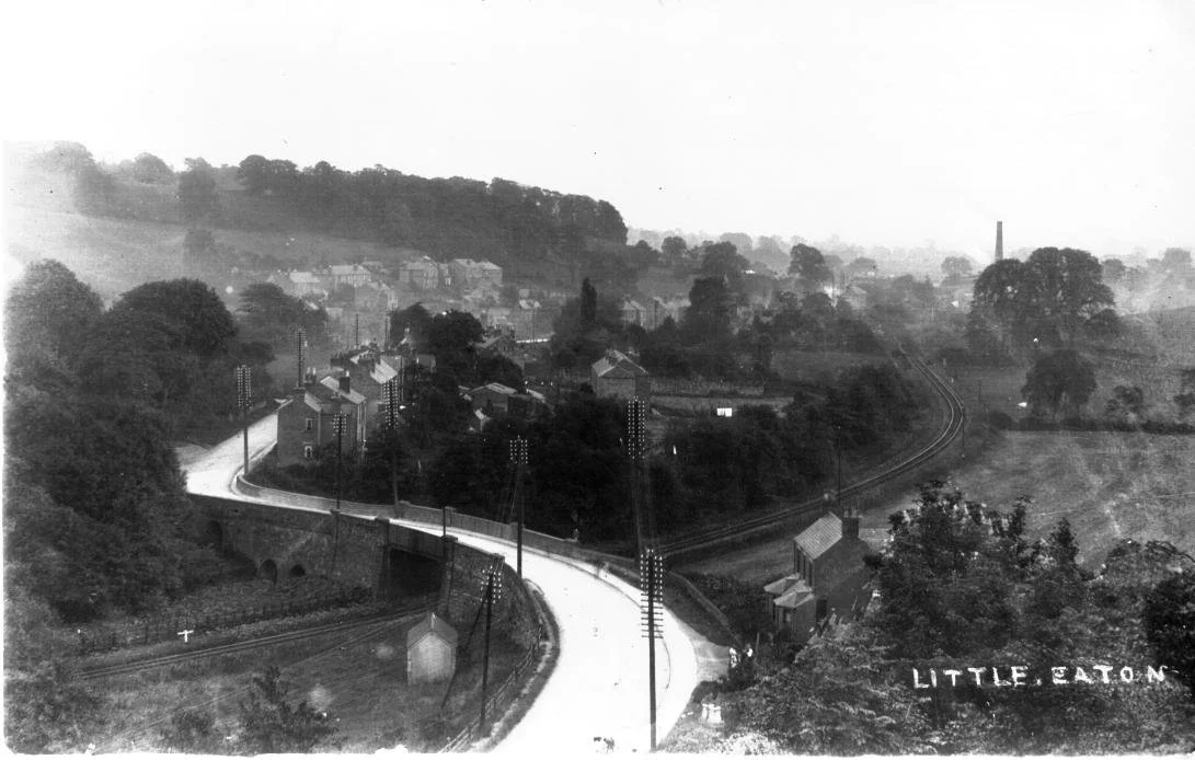
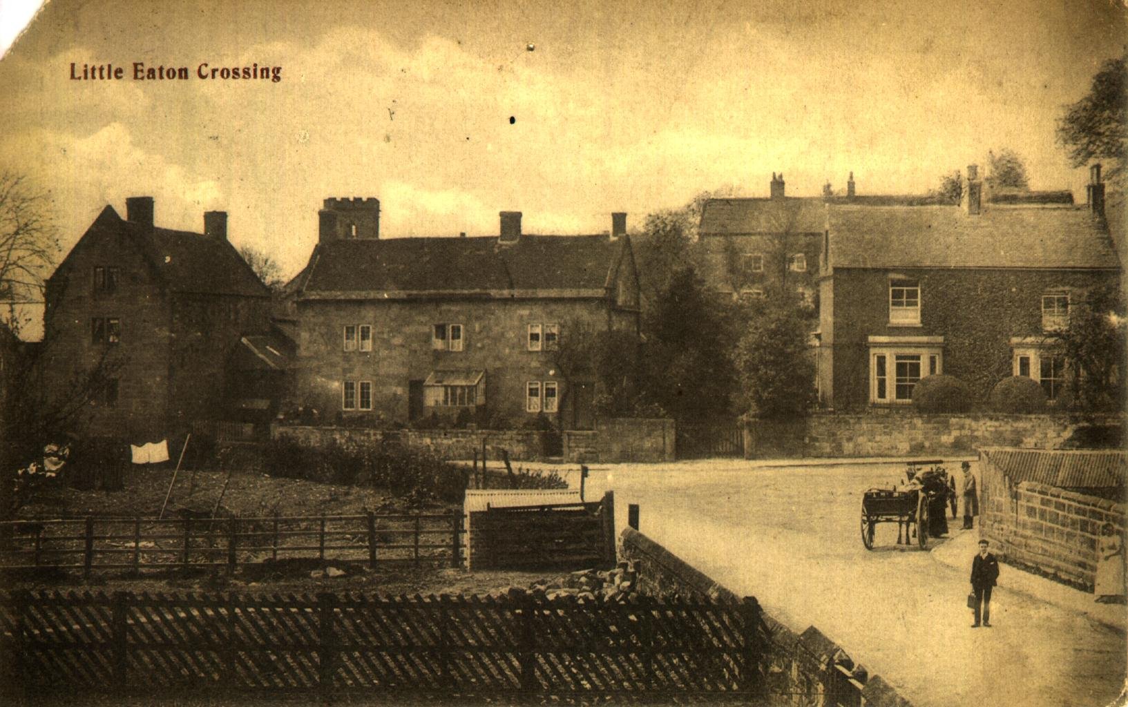
The next bridge carries Alfreton Road over the brook, the railway line and the gangway. The bridge became known as Jack O’ Darley Bridge, named after an abbot from Darley Abbey, allegedly to facilitate his visits to a nun who lived on the other side of the brook.
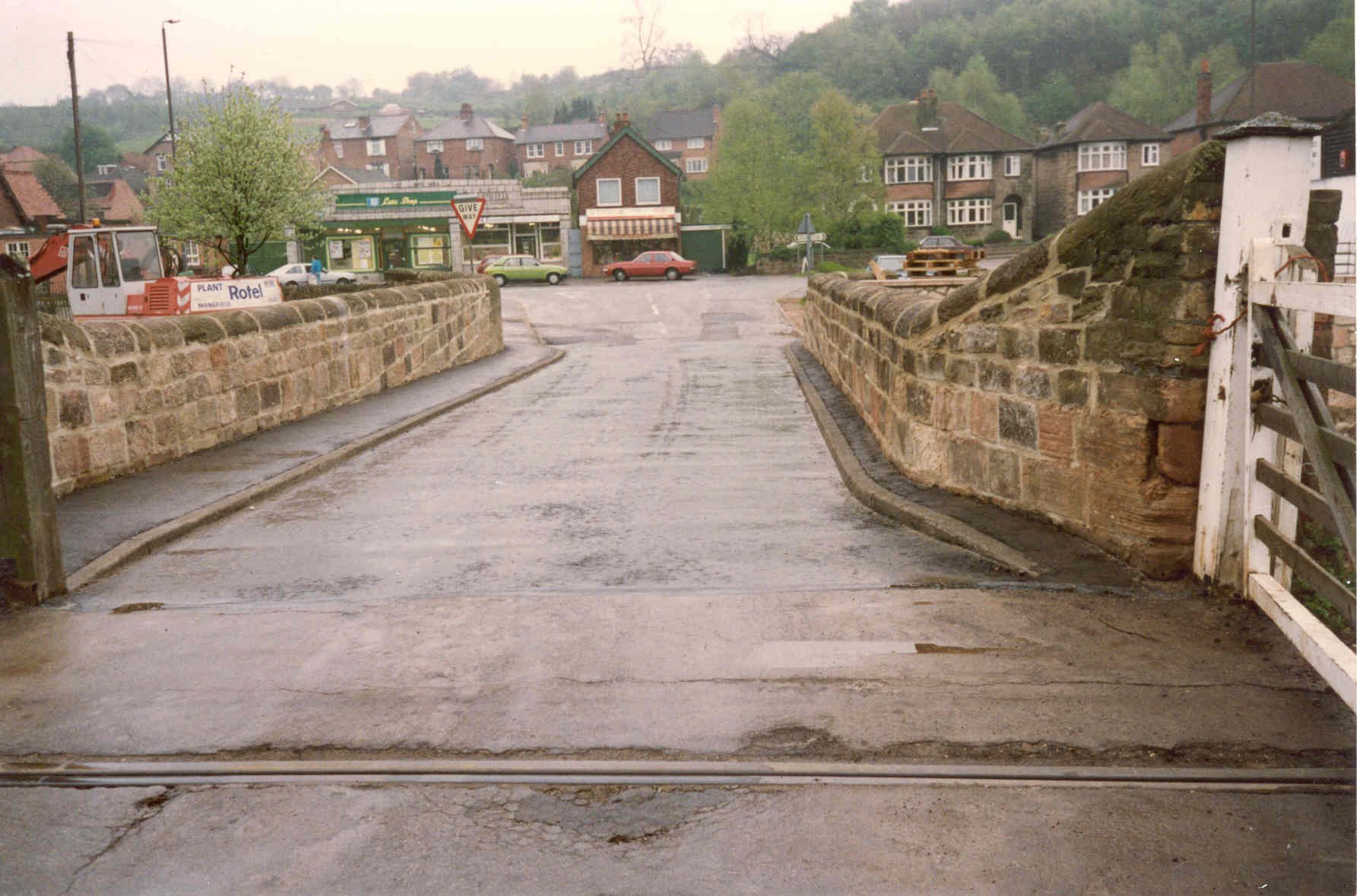
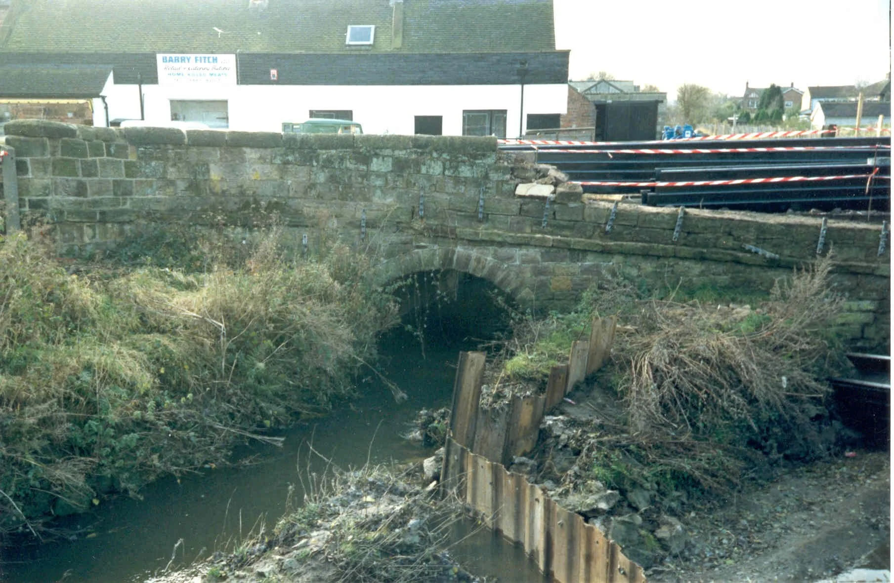
The four images above show Jack O’Darley bridge in the early 20th Century: in the first image, you can see four tunnels under the bridge: one for the railway (now the Greenway), two for the book, and one tall arch for the Gangway, which was used to carry coal from the pits at Denby via horse drawn carriage down to the canal in Little Eaton, and then onto Derby.
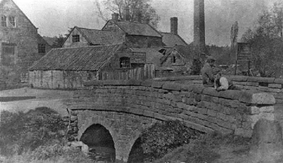
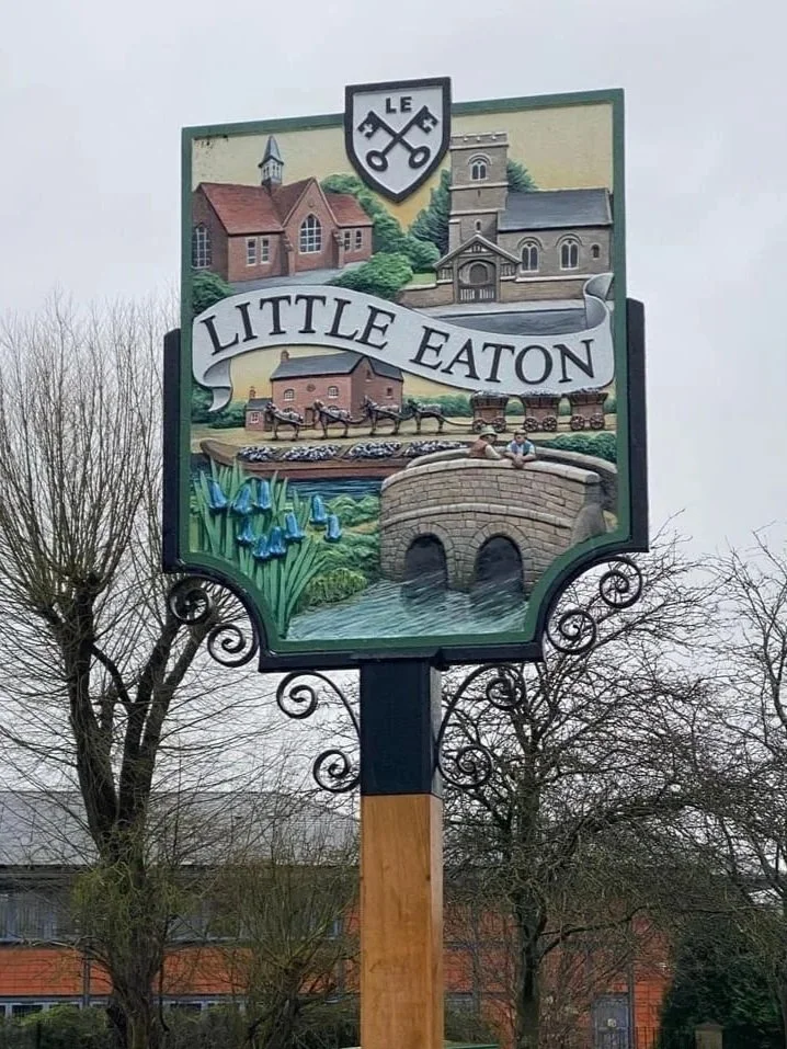
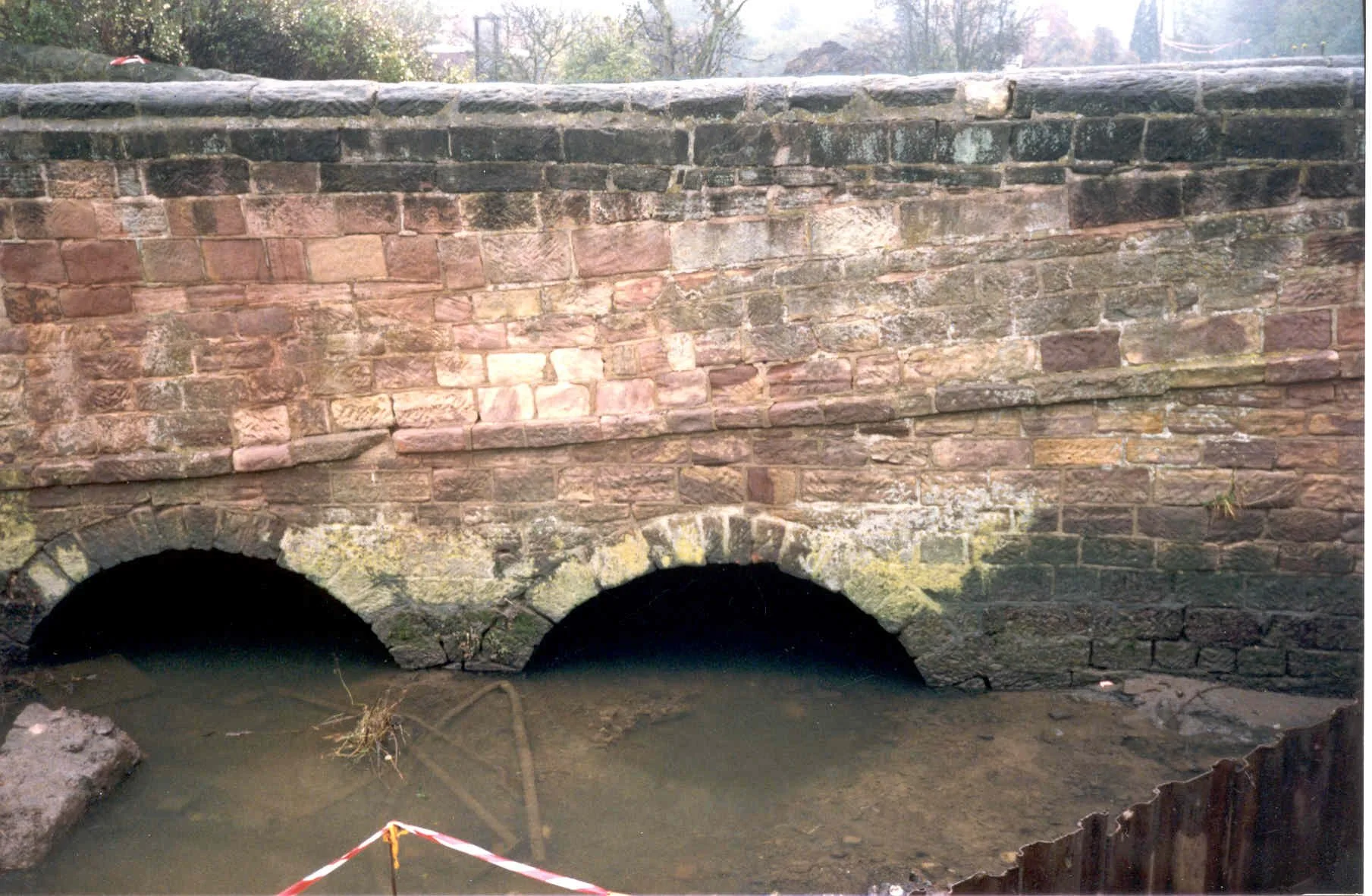
The fourth bridge is at Mill Green, taking traffic from the Alfreton Road to the Bleach Mill and Mill Green. The original stone bridge with two arches was taken down in 1989 as part of the work to protect the village from flooding. The bridge was replaced by a concrete slab.
The original bridge is depicted on the sign that greets people as they enter the village from the south.
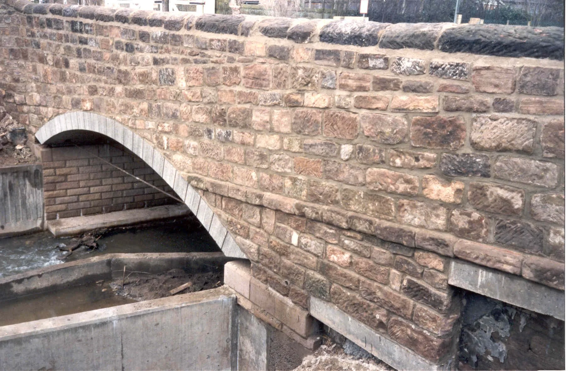
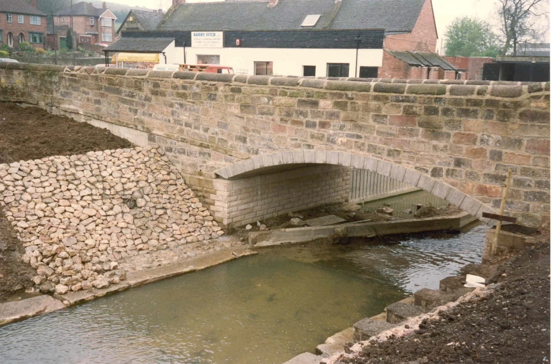
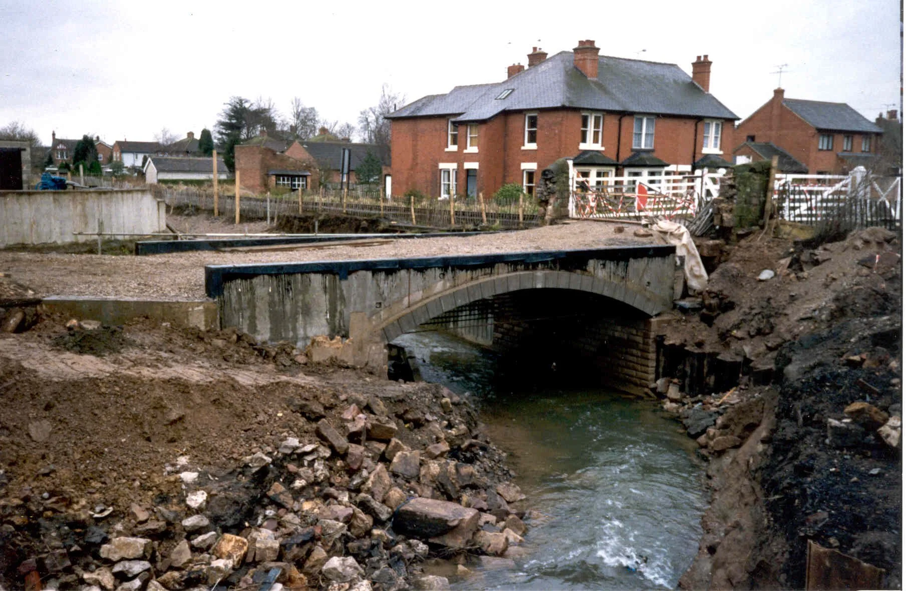
The next bridge is at The Town. During the 1980s flood defence work, two stone arches supporting the road over the brook were replaced by one higher arch.
Finally, the brook is crossed by a bridge carrying The Duffield Road – originally called Holm Lane at this point. This bridge has been rebuilt several times over the centuries but there are no records of earlier versions of it.
Floods
Little Eaton was (and remains) prone to flooding from Bottle Brook. There were serious floods in many years including 1932, 1957 and 1963 and the 1980s. The school was often closed. It was flooded and damaged 4 times between November 1966 and January 1984. Shops and homes were damaged. A cigarette and sweet shop, run by Mrs Williscroft, was flooded so often it had to be demolished in the 1950s It was later replaced by a garden, named Croft Corner.
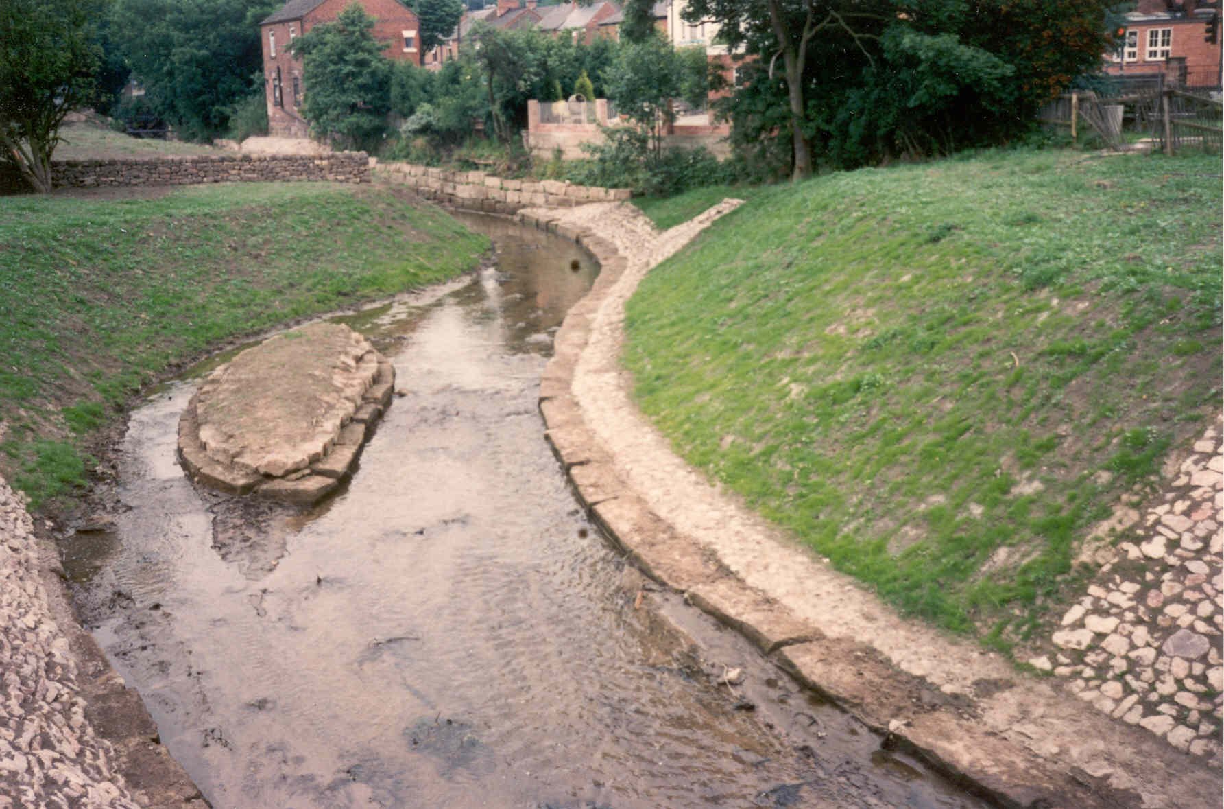
Many attempts over the years were made to reduce the risk of floods. The main project was between October 1987 and April 1988 when the sides of the brook were contained within concrete barriers and the bridge at the Town was rebuilt.

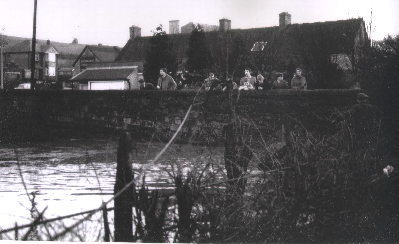
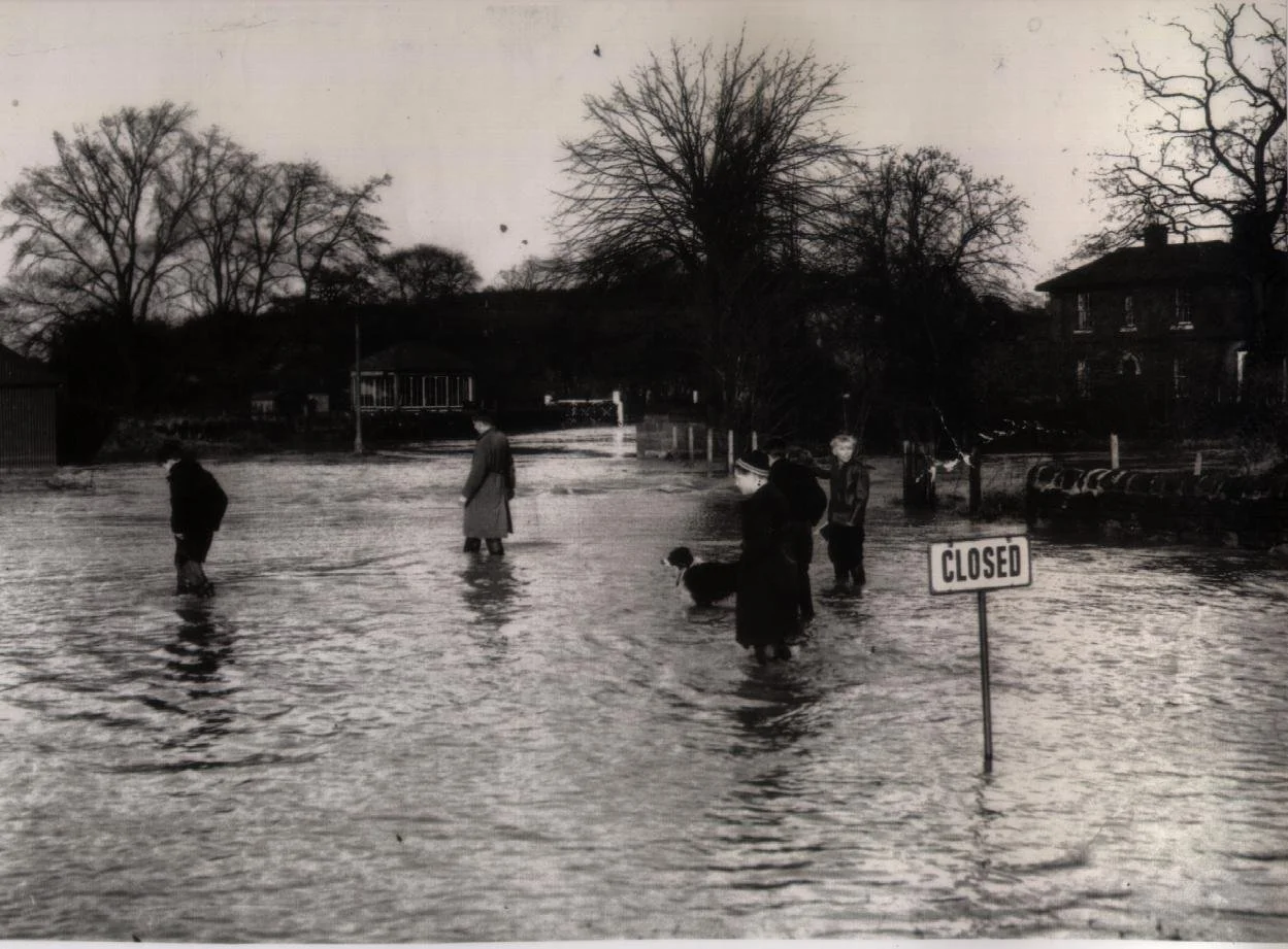
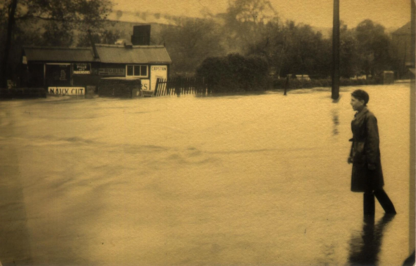
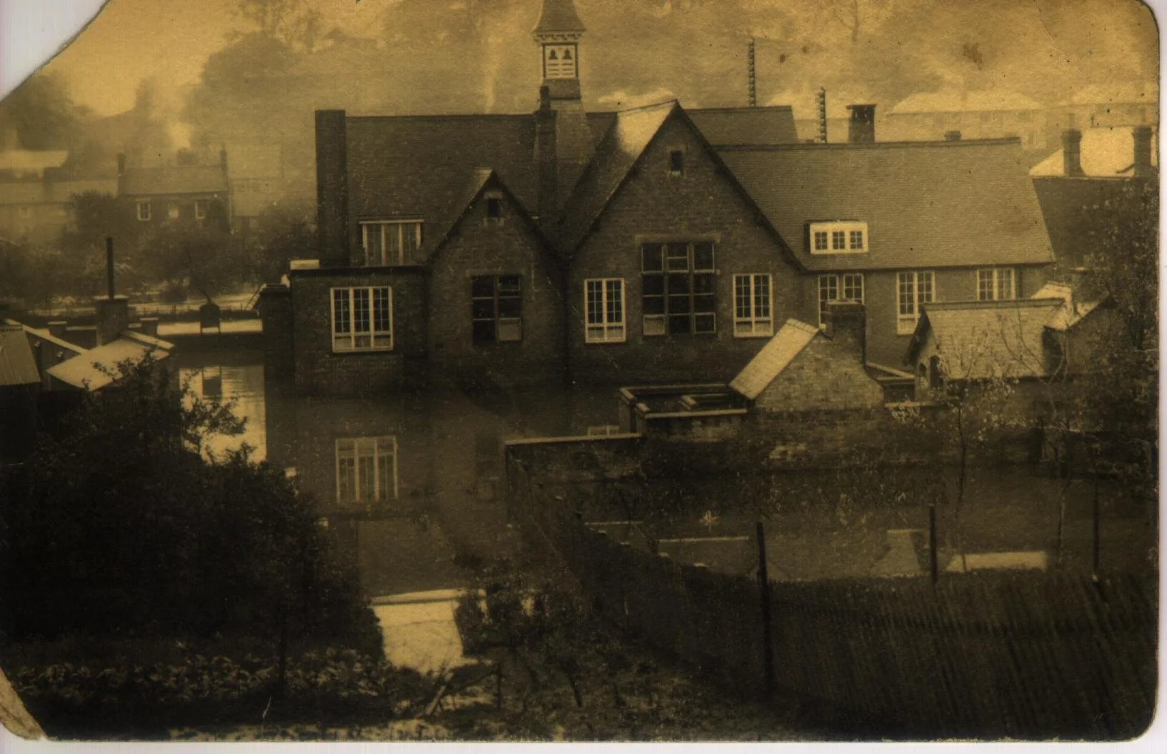
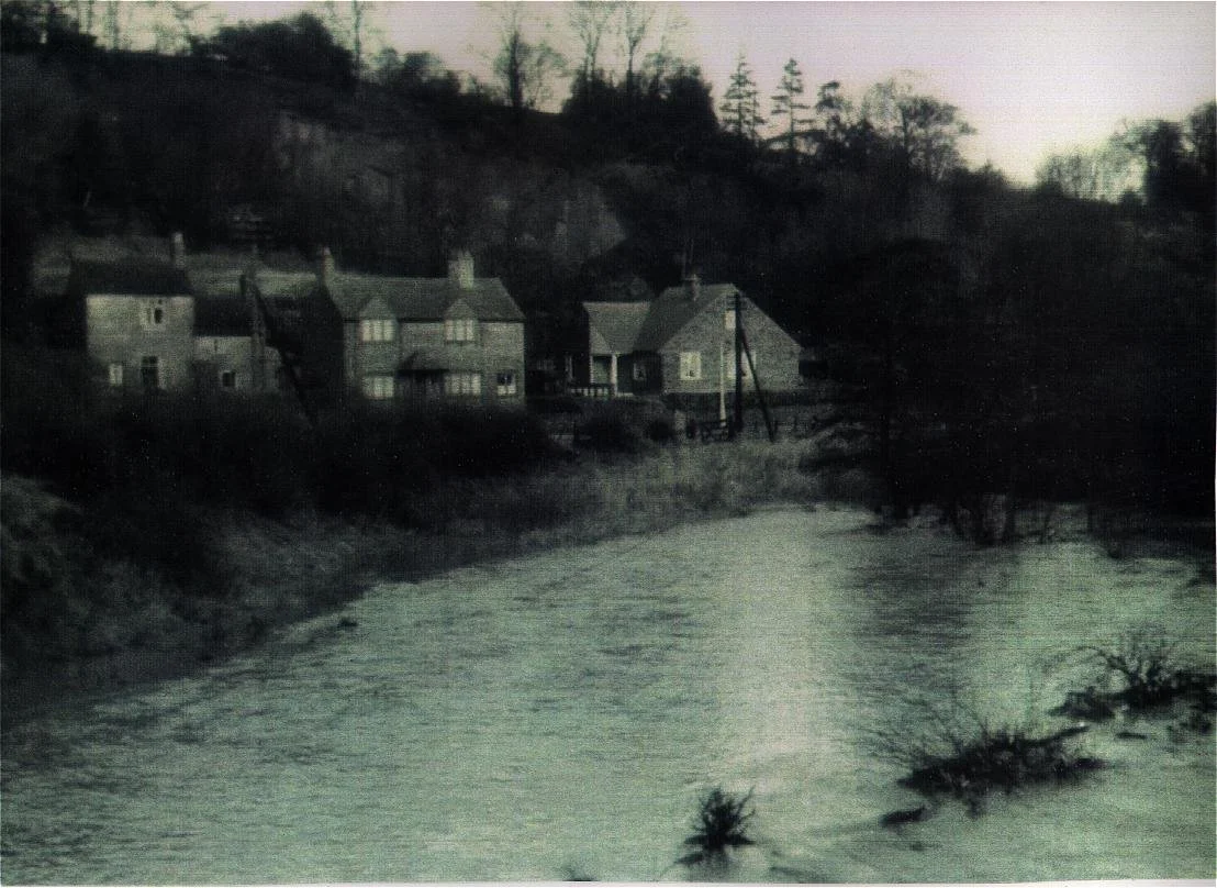
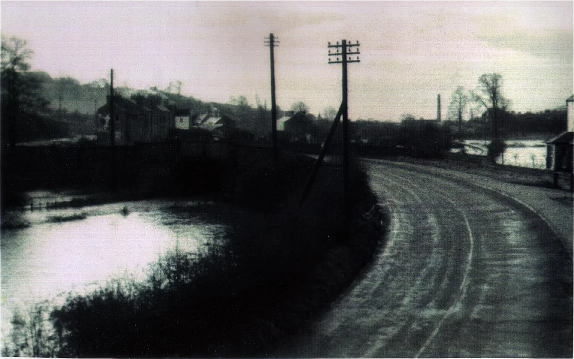
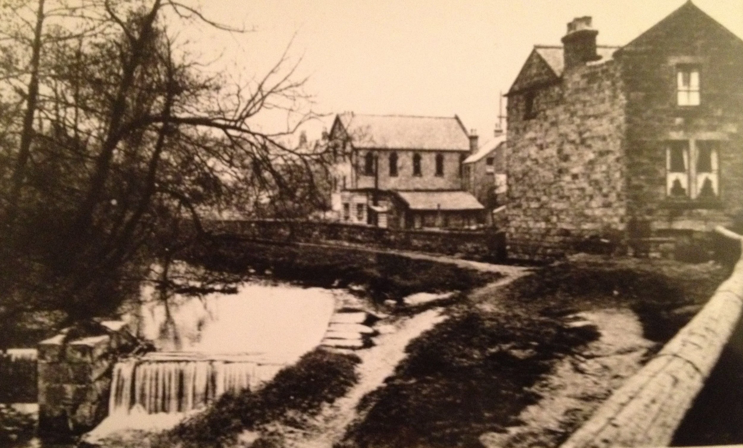
At Mill Green, Children’s Corner (behind the old Post Office) and Croft Corner, residents used to picnic and play in the brook. This sometimes led to tragedy, with several drownings over the years - sometimes children (reported by headteachers in the school log book) and sometimes adults coming out of the Anchor Inn.
The flood defence work meant that access to the brook was restricted, and resulted in the brook being largely hidden by new concrete walls.
Opening up the old railway line to a new multi purpose Greenway offers more opportunities to see the brook, once again making Little Eaton a Little Town by the Water.
Wildlife
The brook and its banks now carry a wide array of wildlife. It has mayflies, caddis flies and many species of butterflies and moths. The water contains leeches, water snails, crayfish, bullhead trout, grayling, barbel and Atlantic salmon. On the banks there are otters, water vole, mink, foxes, badgers, rabbits and Muntjac deer. There is a range of garden and woodland birds as well as buzzards, red kites, and kestrels, moorhens and mallards. There are historic records of grey heron and reed bunting. The plant life is typical of riverine habitats, including, unfortunately, Japanese knotweed and Himalayan balsam.
This range of flora and fauna would not have been present in Victorian times. The brook was used as a sewer by people of the villages along its banks. It was polluted by industrial waste from mines in Kilburn, potteries in Denby and quarries and mills in Little Eaton. In the 1920s the Parish Council noted that sections of the brook were being used by villagers as a tip for their rubbish. More recently, fertiliser and pesticide run- off from fields and gardens have seriously affected the habitat. It is only in the 21st century that the local authorities have made a serious attempt to clean things up and the Wildlife Trust has added stone to the bed to facilitate the movement of fish. The brook is once again becoming an attractive asset to the village.